Skip to content
Sign up for a free recipe e-book →
Live Laugh RV
our next chapter
Search
About
Categories
Community
Our RV
Disclosure & Privacy Policy
Tag:
Blogging
Acceptance & Moving On!
Adjusting
Is This the End?
When Lemons turn into Lemonade
A Love of Water
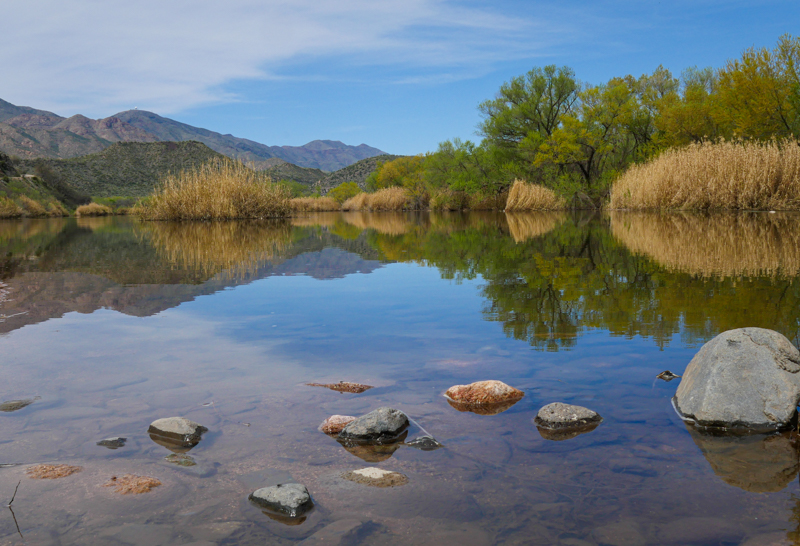
More Water, Less Wind – Lake Pleasant
A Visit with Mom’s Friend
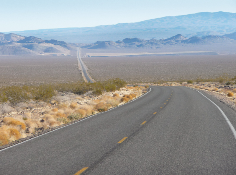
A Land of Extremes – Death Valley
After a Few False Starts
The Long Way Home – Mackinac Island
Next Page
Subscribe
Subscribed
Live Laugh RV
Join 5,300 other subscribers
Sign me up
Already have a WordPress.com account?
Log in now.
Live Laugh RV
Subscribe
Subscribed
Sign up
Log in
Report this content
View site in Reader
Manage subscriptions
Collapse this bar