Skip to content
Sign up for a free recipe e-book →
Live Laugh RV
our next chapter
Search
About
Categories
Community
Our RV
Disclosure & Privacy Policy
Category:
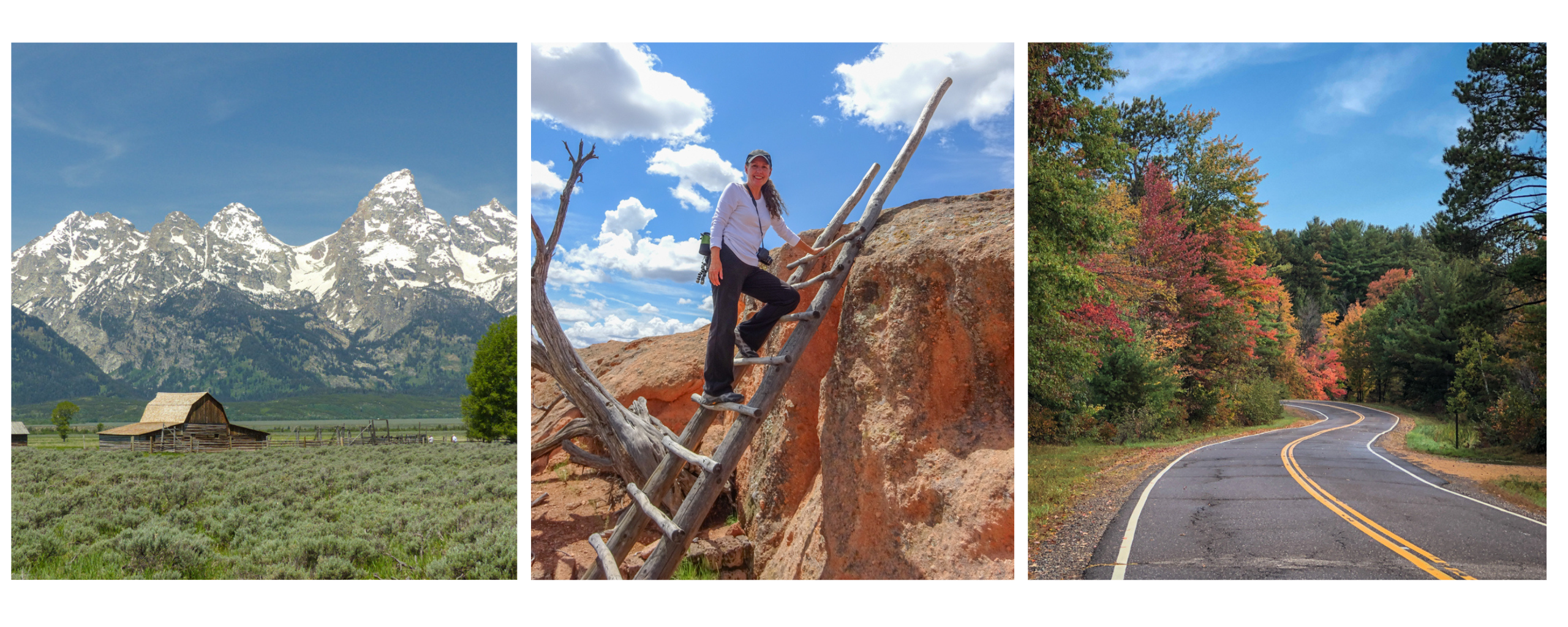
California
Our travels around California.
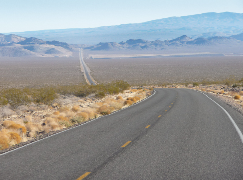
A Land of Extremes – Death Valley
Vacation in October | Disney Celebration
San Diego Bay
Perfect Weather
Subscribe
Subscribed
Live Laugh RV
Join 5,100 other subscribers
Sign me up
Already have a WordPress.com account?
Log in now.
Live Laugh RV
Subscribe
Subscribed
Sign up
Log in
Report this content
View site in Reader
Manage subscriptions
Collapse this bar