We were out the door by 6:30 Saturday morning. I had packed us a picnic lunch, threw sweatshirts in the backseat of the little truck, and had our route all planned out. We stopped for gas to top off the tank. I always like starting out with a full tank of gas before embarking into virgin territory especially when heading into the mountains.
The drive into the mountains via Interstate 70 west out of Denver went smoothly. Although, there did appear to be more traffic than one might expect at this time of the morning.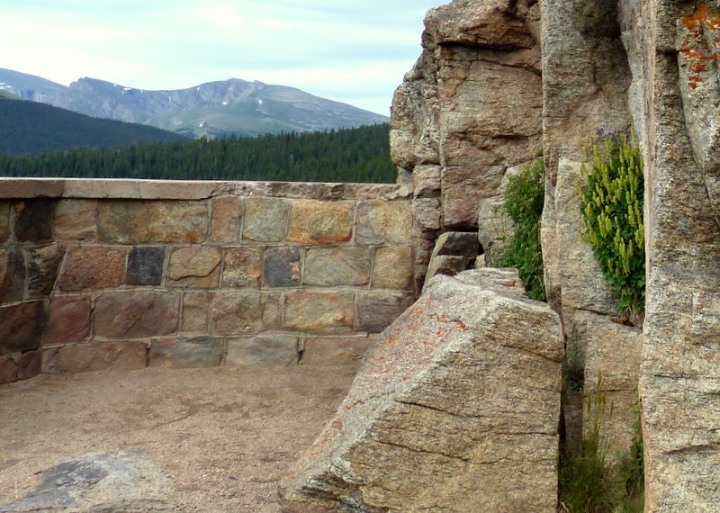
The day’s destination was Mt. Evans. My daughter and I visited Mt. Evans last year and I was eager to share the scenery with hubby. As soon as we exited the interstate in the town of Idaho Springs, I knew something was up; there were way too many pedestrians and cyclists for this time of the morning.
 A mere mile north on Highway 103 and my fears were confirmed….. a cycling event and therefore the highest paved road in North America was closed for the event. Bummer! Looks like we won’t be taking highway 5 to the top of Mt. Evans 😦
However, I’ll admit I wasn’t too terribly disappointed as the weather didn’t appear very agreeable; gloomy skies and cold temps with storms threatening. We definitely would’ve needed those sweatshirts especially at the top of Mt. Evans; 14,265 feet in elevation.
That’s the thing about Colorado, if you don’t like the weather in one spot you can drive a mere thirty minutes in another direction and go from 80 degrees Fahrenheit to a cool 50 degrees and Saturday mornings temps near Mt. Evans were closer to that 50 number than the 80…. burrrr. It’s been hovering in the 90’s all week in Denver so this felt very chilly to me and my bare legs.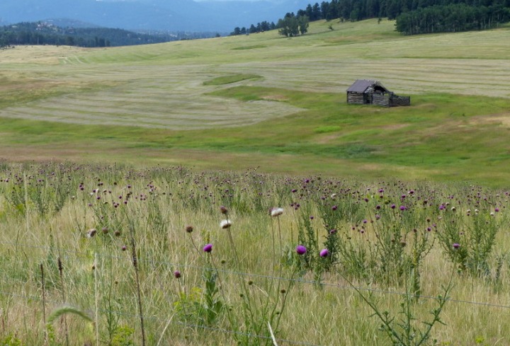
Oh well, since plan A didn’t work out it’s onto plan B. I had never driven Highway 103 from Echo Lake to the town of Evergreen; an alternate route for picking up Highway 5 up to Mt. Evans. The last thing we wanted to do was drive back the way we came knowing the event congestion would just increase with every minute.
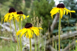 We were so glad we ventured via this route. The scenery was beautiful and the road was in excellent condition.
We even detected some possible boondocking locations. We’ll need to check with the Arapahoe National Forest for the rules and any other pertinent information. We know we’ll attempt a return visit to Mt. Evans sometime in the next few weeks and this is the route we’ll take…. I-70 to 74 to 103/66 to 5
It was only 8:00 in the morning with our plans for the day foiled. I just couldn’t bring myself to return home. I had to think of a place for a picnic……..
Last week, I received a question from a blog follower wanting to know if I’ve ever been to Golden Gate Canyon State Park. I knew exactly where this park was located. We’ve spent some time over the past two summers camped around Denver and I had every intention of previously checking out this State Park, but never got around to it. Her inquiry was just the nudge I needed to explore, as my interest was equally piqued. The next day, with camera in hand, I explored Golden Gate Canyon State Park and immediately knew I needed to show this place to hubby.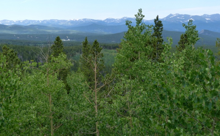
So here we were, driving back towards Denver on a Saturday morning after our failed attempt to visit Mt. Evans with an unopened picnic basket when Golden Gate Canyon State Park pops into my mind. I wanted hubby to see this park anyway, thus this was the perfect opportunity.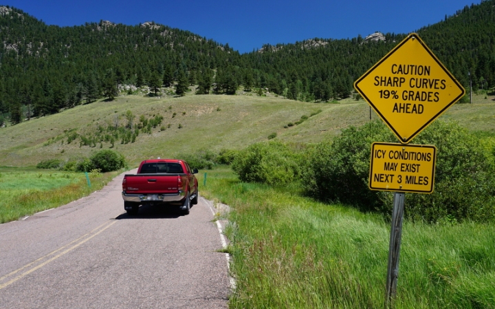
From the town of Golden we headed north on highway 93 then turned west on 46. We meandered along this 2 lane curvy road at about 30 mph dodging weekend cyclists here and there (Coloradans love their outdoor activities – share the road!). After about sixteen miles, we turned onto a small road heading toward the campgrounds. Mountain Base Road has a 19% grade and some switchbacks. Therefore, RV’s of any kind aren’t allowed and need to stay on highway 46 and continue to 119 to access the Reverend’s Ridge Campground.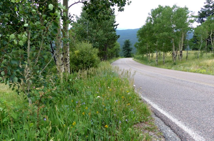
As we slowly made our way deeper into the state park, we stopped at several trailheads to take notes for future hikes. The road was lined with wildflowers which had me wanting to savor the moment. Al was lost in his own thoughts as he was deeply inhaling the scent of the pine forest.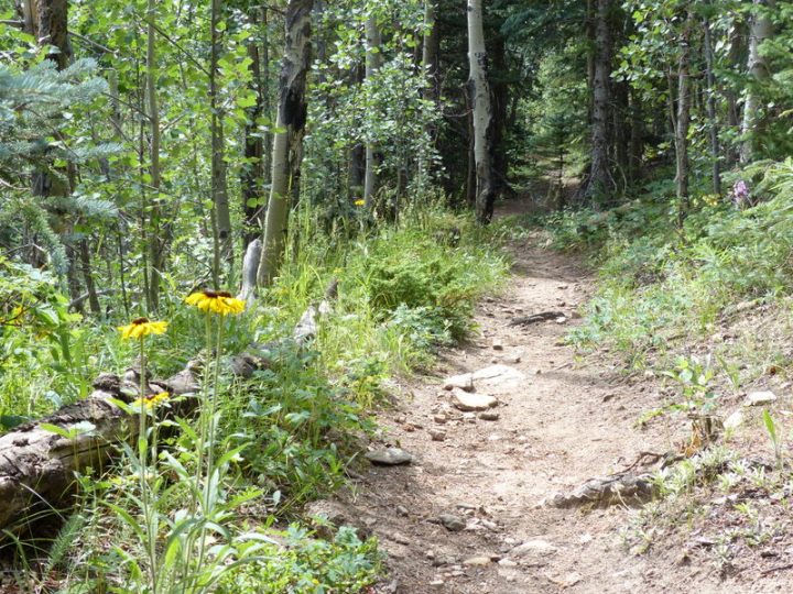 Pine trees, Aspen trees, snow capped mountains in the distance, endless hiking trails, and wildflowers…. yep, the perfect place for a picnic. But first we wanted to check out the campground.
Would this be a place we’d like to stay? Stay tuned…..
Coleman Broadband Quad Chair with Cooler, Red

